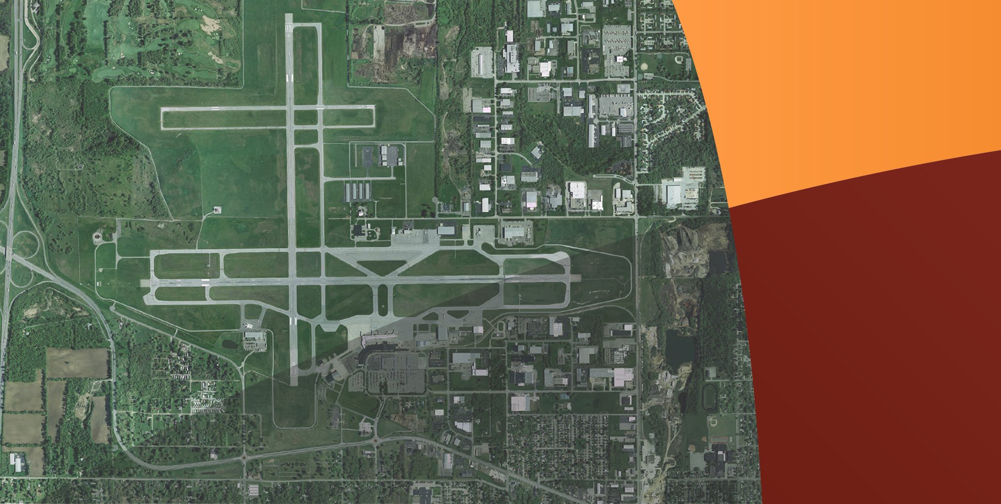
Project Map
Below is a map of the existing route and at-grade crossings. The existing route is approximately 4.7 miles from the US-31 Bypass with 19 vehicular crossings and 3 pedestrian crossings.
Route Alternatives to be added when available.


Proposed Alignment